world
Satellite Images Show How Trishuli River In Nepal Swelled Up To 6 Times, Swallowed Houses
NDTV
September 4, 2026
via NDTVYou're reading one story from Newsaly
Newsaly brings together 60,000+ newspaper articles, 30,000+ podcasts and 10,000+ magazine articles from around the world.
A World Of News, One Window.
Explore Today's News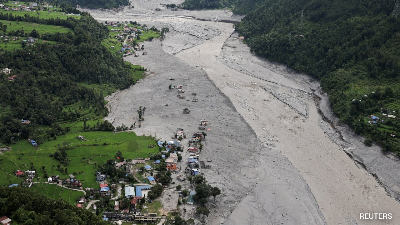
The NDTV team analysed satellite images by Vantor, Planet Labs PBC, Google Earth, and Google Open Buildings to understand the changing course of the Trishuli river, which carried the bulk of the devastating slurry.
Read the full story
Explore More On Newsaly
Voices (0)
Share a 15-second voice reaction. Voices automatically disappear after 10 days.
Sign in to record a voice on this article.
Be the first to share a voice on this article.